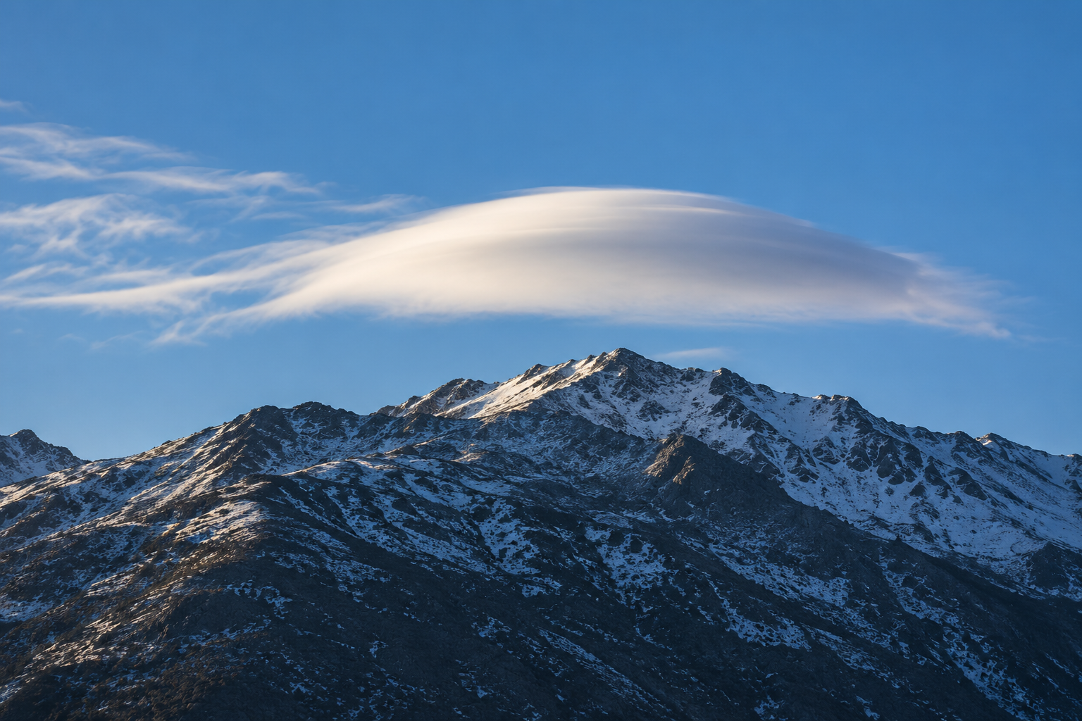
In a satellite image from December 2020, smooth white clouds sit above Antarctica's Eisenhower Range. They have the look of lenticular clouds, the lens-shaped forms that can appear almost motionless beside a mountain even when the wind is strong. Air moves through a standing wave: it rises and cools, water becomes visible as cloud particles, then the air descends and the particles disappear. The shape can stay near the ridge while the air and the water in it keep changing. NASA's account of the image gives us an unusually clear way to think about a cloud. It is a place with suitable conditions for visible water, not a sealed parcel carried intact across the sky.
That distinction matters even when a cloud does drift. The World Meteorological Organization's International Cloud Atlas defines a cloud by minute liquid-water droplets, ice particles or both, suspended in the atmosphere. Water vapour is present too, but the gas itself is invisible. The white shape is the part of the atmosphere where some water has left that gaseous state. Its outline shows where enough droplets or crystals persist to be seen, not a wall that keeps the surrounding air out.
How invisible water gets a visible edge
Water enters the air as vapour through evaporation from surfaces and through plants. Winds carry it away from those sources; a cloud above a mountain is not necessarily made from water that evaporated on that mountain. NASA's account of the water cycle follows vapour from the surface into rising air, where cooling can let some of it become liquid cloud droplets. The route can be long and the water can change state more than once. A cloud is one stage of that journey.
Why does rising help? As air climbs into lower pressure, it expands and cools, a process described in NASA's account of a cloud pattern over the Pacific. Cooling changes the balance between water vapour and liquid water. If the rising air carries enough vapour, some can condense. Rising is common, but it is not the only route: adding moisture or cooling air by other means can also bring about cloud formation. NASA's 1999 explanation of cloud formation makes both routes explicit. A particular cloud therefore needs an account of its air, moisture and motion, rather than the one-word explanation “heat.”
The first droplets do not usually appear in perfectly clean, empty air. Tiny airborne particles provide places for water molecules to collect. Sea salt, dust and other aerosols can serve as cloud condensation nuclei; their chemistry affects how readily they take up water. The 1999 NASA account describes these particles as part of the ordinary cloud-making process. A visible cloud is made of droplets or ice, but it is also shaped by what was already mixed into the air before the white appeared.
Condensation has an effect beyond making a visible particle. Water absorbed energy when it evaporated at the surface. As it condenses, it releases some of that energy to the surrounding air. NASA's water-cycle account calls this latent heat. It can reduce the rate at which a rising parcel cools, and under suitable conditions can help maintain an updraft. It does not guarantee that the cloud will grow into a storm; surrounding air and the atmosphere above can still limit the rise. The phase change is part of the cloud's motion, not just a consequence of it.
The edge is busy
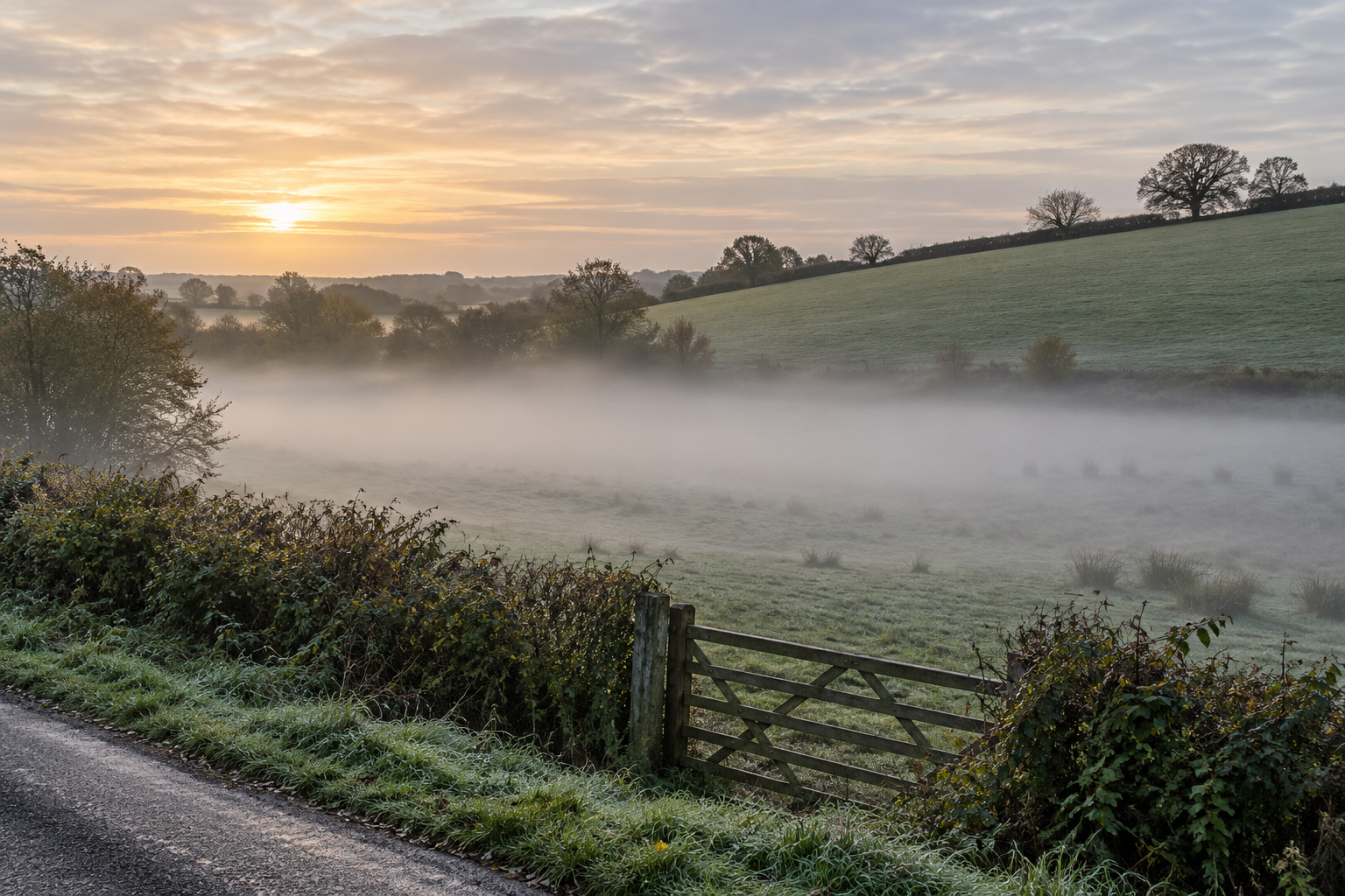
The apparently firm boundary of a cumulus cloud is a difficult place to draw with a pencil. Cloudy air mixes with its surroundings. If drier air enters, droplets may evaporate; if fresh moist air rises and cools, new droplets may appear. The whole cloud can change shape while neither process stops. In the Antarctic mountain-wave example, a comparatively stable location makes this turnover easy to picture: a rising side makes the lens, and a descending side erases it. Most clouds do not stay parked like that, but their edges are still places where air and moisture exchange.
The changes are measurable, not merely a way of speaking. In a 2024 aircraft study of six shallow marine cumulus and congestus cases, researchers flew repeated passes through cloud clusters over the western Atlantic. They found substantial variation in vertical motion, water content and droplet properties between passes. Downdrafts were common near cloud edges, and mixing with environmental air affected the cloud interiors. These observations belong to those selected marine clouds; they do not provide a universal rate at which every white edge dissolves. They do show why a cloud cannot be treated as a motionless bowl of condensed water.
The same study found that rain forming higher in some clouds did not necessarily become rain at the surface. In one case, the researchers inferred that water carried sideways from near the cloud top would largely evaporate into drier surrounding air. Even a drop that has begun to grow can change its fate on the way down. Seeing a cloud, or even seeing a dark base, does not by itself establish that the ground below will get wet.
A cold cloud need not be all ice
There is another change of state to consider. The WMO definition allows liquid water and ice to share a cloud. Freezing temperature alone does not force every tiny droplet to freeze at once. NASA's 2014 account of supercooled altocumulus describes liquid droplets persisting below zero degrees Celsius. In the aircraft-triggered holes shown there, some droplets freeze, ice crystals grow, and the cloud deck develops a visible gap as particles fall and nearby liquid water is depleted. It is a particular event in a particular kind of cloud, not a claim that every gap was made by an aircraft.
Thus “water changes state” does not mean one simple switch from vapour to rain. Vapour can condense to liquid droplets or deposit as ice. Liquid can remain supercooled, freeze, or evaporate again. Ice can grow and fall. The balance varies by height and from one part of a cloud to another. A cloud may persist for a while without every droplet actively changing phase at every instant; its existence means that the local supply, growth and loss of particles still leave enough visible water or ice in the air.
The lens above the Antarctic ridge offers the cleanest image of this idea. Its outline seems to belong to the mountain, while its material belongs to moving air. The cloud is visible because water has crossed into droplets or ice there; the shape fades where that condition ends. Look up at an ordinary passing cloud and the same question becomes useful: not only where is it going? but where is it being made, and where is it being unmade?
A thought worth keeping?